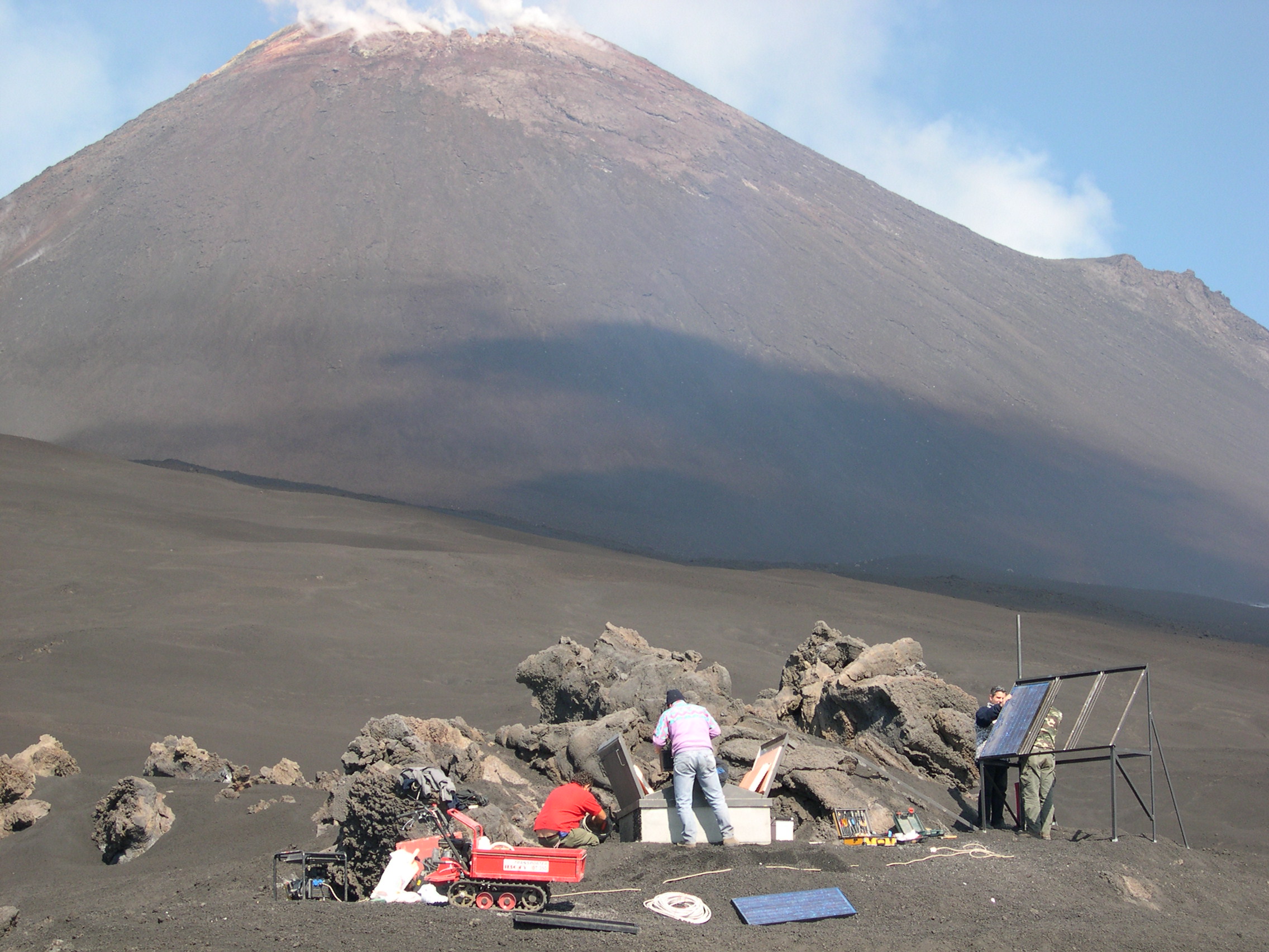
 For the first time satellite data and ground measurements were used in order to detect the possible magma rising that 'announces' the eruptive activity of Etna. The study, result of collaboration between the National Research Council of Italy (CNR), the National Institute of Geophysics and Volcanology (INGV) and the Italian Space Agency (ASI), was published in Scientific Reports of Nature. Understand the internal structure of a volcano and its functioning is one of the main target of volcanological studies. In order to do this, scientists can only be based on information gathered on the volcano surface and on the analysis products released (lava, gases, ash, ...). For the first time the study utilizes synergically the measurements of ground deflection, calculated by using data collected by satellite radars as Ers / Envisat and Cosmo-SkyMed, and information on the small variations in the gravitational field measured near the volcano surface.
Spatial data and terrestrial measurements to better understand volcanoes
Tag Cloud
Research activity in evidence
-
Airborne SAR interferometry techniques
The airborne SAR platforms provide high operational flexibility, overcoming some…


