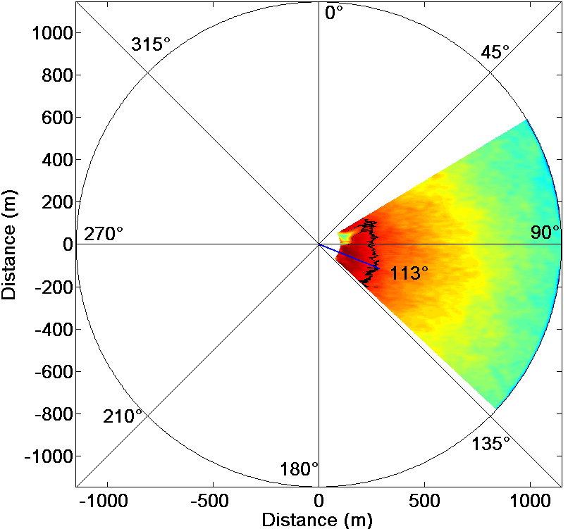
 While blowing on the sea surface, the wind transmits a part of its energy to the water particles. This phenomenon gives rise to the formation of ripples on the sea surface (the capillary waves), whose wavelength is of the order of centimeters. Besides, if the wind action is persistent and with an intensity greater than two/three meter per second, the additional transmitted energy involves the formation of larger waves, namely the gravity waves. The capability to observe the gravity waves on X-band radar images is due to the presence of the ripples on the sea surface, as the latter interact in a constructive manner with the electromagnetic waves transmitted by the radar. Therefore, the characteristic parameters of a wind field (i.e., the wind intensity and the wind direction) represent a latent information in the radar images of a sea surface. Accordingly, by exploiting appropriate processing techniques, as those developed at the IREA-CNR, it is possible to estimate the wind parameters starting from X-band radar data. Figure depicts an example of estimation of wind direction from X-band radar images.
Research activity: Sea state monitoring


