|
MICROWAVE REMOTE SENSING
Differential Synthetic Aperture Radar Interferometry
Spaceborne SAR tomography
Airborne SAR Interferometry techniques
Geophysical modeling of remote sensing data and geodetic measurements
GRID and Cloud platforms exploitation for the interferometric processing of SAR data
OPTICAL REMOTE SENSING
Thematic Mapping
Evaluation of bio-geophysical parameters using physically based models
Environmental and natural resources monitoring
Proximal sensing and Cal/Val activities
ELECTROMAGNETIC DIAGNOSTICS
Radar Tomography
Mircowave and terahertz sensors
Distributed fiber optic sensors
Integrated optical and optofluidic sensors
Sea state monitoring through X-band marine radars
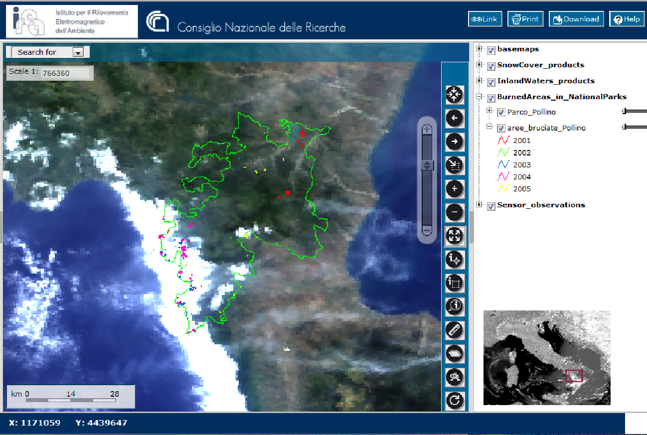
GEOGRAPHIC INFORMATION SYSTEMS
Big Data and geographic information on the web from smart and social sources
Interoperable infrastructures for geodata
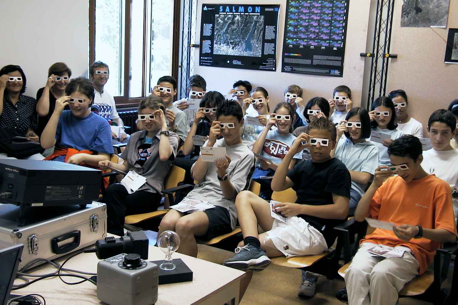
PUBLIC COMMUNICATION OF SCIENCE
|