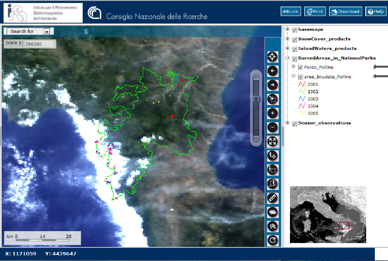
Geographic Information Systems (GIS) are born in the Sixties of the last Century in order to facilitate ruling great geographic areas and their resources under the pressure of growing populations. During the last decades, technology advances have influenced GIS by improving the techniques for storing and searching great amount of observations on the territory; for processing them in reasonable times; for increasing collection accuracy, like in the case of the popular GPS. In the meanwhile, Internet has become the most popular development environment also for geographic information and data, guiding users’ and providers’ practices and habits. In the age of the Web, geographic information develop in many directions such as spatial data infrastructures (SDI), virtual globes (like Google Earth), the Digital Earth initiative, Neo-geography and Volunteer Geographic Information (VGI) systems (gathering observations from crowdsourcing via both traditional and mobile tools).
In the above areas of systems for geographic and spatial data IREA staff performs researches, tests technologies and creates prototypes in the following ACTIVITIES:

